Driving behavior data: The new frontier for smarter auto insurance pricing Read article
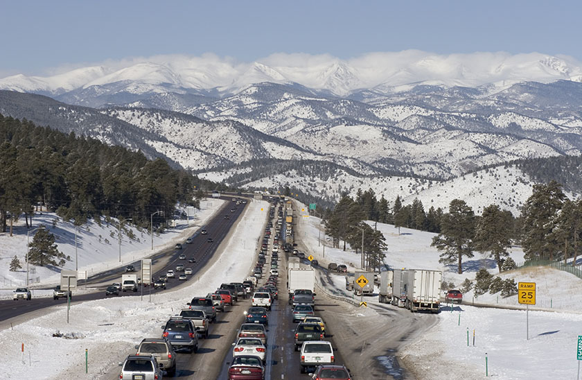
For decades, territory has been one of the most powerful rating variables in auto insurance. It’s in nearly every carrier’s playbook – usually among the top five factors. But let’s be honest: Territorial pricing hasn’t changed much in years. Until now.
At ITC 2025, Arity explored why driving behavior data is the breakthrough that’s redefining territorial models – and why carriers who move first will gain a serious edge.
Using geographic information as a proxy can work, but it has limitations:
The bottom line? Relying on historical claims and proxies leaves gaps – and those gaps cost you. They can lead to mispriced territories, missed opportunities, and exposure to adverse selection.
This is where driving behavior data, also known as mobility data, comes in.
Driving behavior data is now available for territorial ratemaking. This information isn’t modeled or forecasted – it’s measured, real-world activity from millions of U.S. drivers. The data is aggregated at the ZIP level with 96% coverage of populated zip codes.
This is more than a tweak, it’s a transformation. Instead of guessing, you’re pricing with precision.
Quincy Mutual, a regional carrier in Massachusetts, faced the same challenges as many: limited data, a distorted view of risk, and strict regulatory requirements. By integrating driving behavior data, they can:
And here’s the kicker: They discovered that driving behavior isn’t static. It varies by ZIP and shifts year to year. Gaining visibility into these current trends gives them a dynamic edge over carriers relying on stale data. And, in just four months, Quincy went from evaluating the dataset to filing updated territory relativities.
You don’t need a telematics program or a massive IT overhaul to start. This data is granular, and easily accessible as a CSV file and ready to plug into your models. It’s a fast path to more refined risk segmentation and smarter pricing.
“Even if we had a telematics program, it would only reflect our customers. Instead, Geosight goes broader and shows the true magnitude of change in a territory.” – Todd Lehmann
The future of territorial pricing isn’t about where people live – it’s about how they drive.