The key to smarter, safer DOT strategies? Ground truth data. Read article


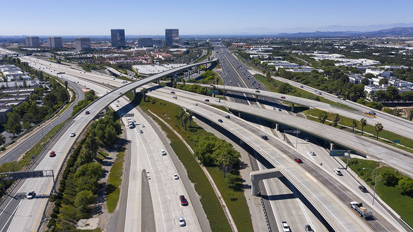
It may come as no surprise to you that the United States has the largest road network in the world, with more than 4 million miles of roads. The mission of the U.S. Department of Transportation (DoT) is to ensure “a fast, safe, efficient, accessible, and convenient transportation system,” but knowing exactly where to invest in improving road infrastructure can be a challenge.
Imagine now that the DoT — and each local transportation department — had timely, real-world mobility data and an in-depth, expert analysis of billions of data points from connections with drivers on these roads.
That’s where a new partnership between Arity and Michelin comes in. Arity has billions of miles of historical driving data from nearly 100 million active telematics connections. Michelin’s Driving Data to Intelligence (DDI) has the data science expertise and decades of experience with mobility data to analyze this data and isolate near-miss events and atypical behaviors caused by or attributed to road infrastructure.
Essentially, Michelin is planning to use Arity’s data, which includes driving events such as collisions, hard braking, speeding and phone handling, to work with U.S. transportation departments and cities to facilitate infrastructure optimization and project prioritization. They will identify the areas within those locations that road managers need to focus on to improve safety
From a road safety and risk reduction point of view, this is a match made in heaven. With this partnership, Arity is able to further its mission to make transportation smarter, safer, and more useful. Michelin is able to deliver data-driven services that contribute to safer mobility in a large, new market, demonstrating Michelin’s strategy to leverage data science for offerings beyond the tire business. DoTs will benefit from knowing exactly where to invest in infrastructure. And everyone on the roads will benefit from safer travel.
With the U.S. government’s call to invest $480 billion in infrastructure improvements, the opportunity for any spatial data company to make a difference and increase their market share is monumental.
Consider leading data, analytics, and technology companies that offer product and services that have something to do with driving, traffic, or mapping. Imagine if those companies combined their intelligence and capabilities with Arity’s trillion of miles of data, including collision data; each company would have its own unique take on how to leverage this high-quality data to assist traffic engineers and win more contracts from municipalities.
The potential for leveraging data to advance the safety, equity, and convenience of transportation today is like no other time in history. Securely and privately collaborating with data adds a layer that enables companies to not only expand their products and solutions, but also expand into new markets.
The possibilities for new features and products are endless and depend on the need of the contracting organization or municipality. Here are some examples:
The competition to win government contracts is heating up, and when companies collaborate, each contributing with what they do best, everyone wins.
Typically, Arity works with insurance companies, automobile manufacturers, sharing economy companies, and auto aftermarket companies to help them better understand driving behavior, manage risk, operate more safely and ultimately increase their bottom line. With this partnership with Michelin, we are able to make an impact on the public sector as well.
Interested in exploring ways that Arity’s data can help your organization win more government contracts or expand into new markets? We’d love to hear from you.